Bavaria Wanderlust · The Alps & Zugspitze
Wendelstein: A Real Alpine Hike, One Train Ride from Munich
Personally visited by Martin · 18 August 2025
I climbed Wendelstein expecting a quiet alpine trail and found a mountain with its own church, cave, restaurant terrace, and university observatory waiting at the top — plus a cable car and a 114-year-old rack railway — the oldest still-working one in Bavaria — in case my legs gave out first. They didn't, but it was close: the official signs say 3.5 hours up, and I did it in 2.5.
From Munich Ostbahnhof to the trailhead in one train
Wendelstein looks like the kind of mountain that takes planning — a proper 1,838 m summit, visible from a good chunk of the Alpine foothills around Munich. Getting to the bottom of it took exactly one train. I left Munich Ostbahnhof at 09:08 and stepped off in Osterhofen at 10:36, which put me at the valley station of the Wendelstein cable car about five minutes later — it's a short, signed walk straight from the platform, underpass included.
From there you've got three honest options: hike the whole way, ride the cable car, or ride the cogwheel rack railway from the other side, in Brannenburg — opened in 1912, making it the oldest rack railway still running in Bavaria (Germany's oldest overall is the Drachenfels railway near Bonn, from 1883). I hiked up. The trail is well-marked the entire way, and the signage suggests around 3.5 hours to the top. I did it in about 2.5 at a steady pace with a couple of short breaks — but that's my own pace, not a promise about yours. Plan your day around the posted 3.5 hours, and treat anything faster as a bonus rather than the baseline.
The trail: forest, cows, and one genuinely useful hut
The first stretch is forest, gradually opening up into alpine meadow as you climb — the kind of hike where you stop noticing the trees and start noticing how much of Bavaria you can suddenly see behind you. About an hour below the summit there's a mountain hut where you can get a drink and sit down before the final push, and it's also where the trail runs closest to grazing cattle — nothing dramatic, just pay attention and stay on the path, because Alpine cows do not care about your hiking itinerary.
Haki tip: Mobile signal drops out in parts of this trail, so download an offline map before you leave Munich, not after you've lost it on the mountain. And plan your day around the official 3.5-hour estimate, not my 2.5 — everyone's pace is different, the descent takes just as long as the climb, and you don't want to be racing the last train down from Osterhofen because you trusted someone else's legs instead of the posted time.
The summit: less a peak, more a small alpine village
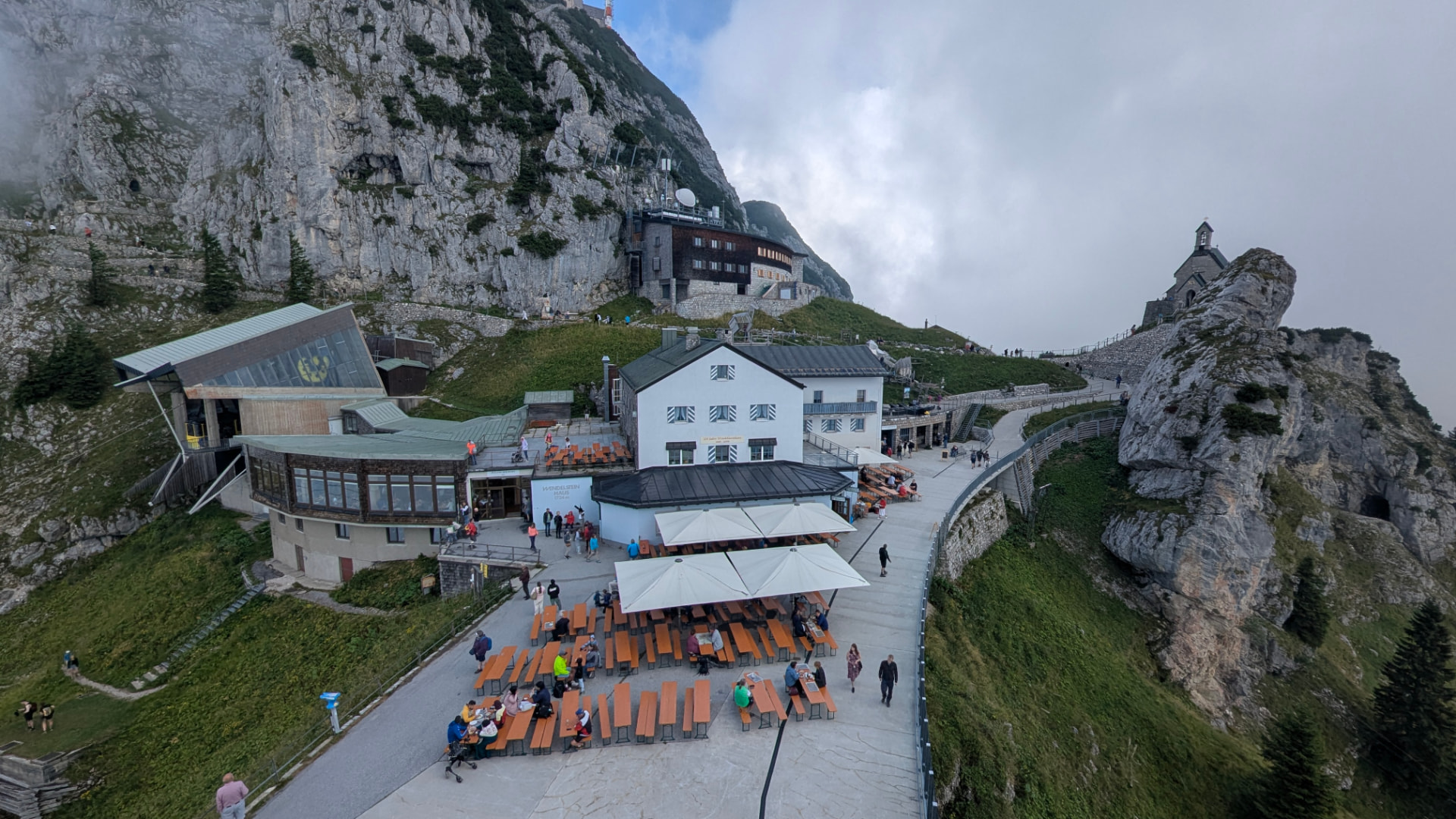
This is where Wendelstein stops behaving like a normal mountain. At the top there are two restaurants — one self-service, one with table service — both with proper indoor seating and a genuinely large outdoor terrace. There are free public toilets, which after a few other Alpine summits I can tell you is not something to take for granted. Near the restaurant area there's a large wooden bird sculpture with a yellow front that works as an accidental meeting point, and a couple of simple play elements that make this one of the more family-friendly summits I've been to. A bottle of beer at the kiosk ran me about €5.60. The actual summit cross is a short, easy walk further on, past all of this, and on a clear day the views run in every direction at once.
A chapel, a cave, and a working observatory
Past the restaurant terrace sits St. Justinus, a small chapel that's a genuinely quiet spot compared to the terrace crowds a hundred meters away — it's billed as the highest church in the Bavarian Alps, and standing inside it after the noise of the summit area, that's easy to believe.
The Wendelstein Cave (Wendelsteinhöhle) is a few minutes' walk from the rack railway's mountain station and is, at 1,711 m, Germany's highest show cave. It's self-guided, takes about 45 minutes, and drops you down 82 steps through an artificial tunnel into a natural chamber system where the temperature sits around +3°C year-round — snow can survive in there through summer. The ticket is €2, coin only, sold at the entrance.
There's also a working observatory up here, run by LMU Munich — it's a real research facility, not a visitor attraction, so you can see it from the outside but access inside is for scientific use only.
Getting up and down without a car
If you don't want to hike both ways, both mechanical options run frequently: the cable car from Osterhofen roughly every 30 minutes, the rack railway from Brannenburg roughly every 60 minutes. Current adult fares: cable car €20 one-way / €32 return, rack railway €31 one-way / €49 return, or €48 for a combined ticket covering both lines in one round trip. Dogs ride for €7. Cards are accepted at both stations.
Brannenburg is the other access point if you'd rather arrive via the München–Rosenheim–Kufstein line instead of the München–Bayrischzell line — it's about a 30-minute walk from Brannenburg station to the rack railway's valley station, following the Kirchbach stream, or there's an hourly bus (not on Sundays). I came and went via Osterhofen, hiking up and taking the panoramic route back down, and treated my feet to the cold-water basin by the station before the train home. One thing worth knowing: the return route can change via Schliersee, and seats aren't guaranteed — if you have a choice, routing back via Bayrischzell tends to mean an easier seat.
Photos from the day
All shot by me on the visit. Swipe through.
I hiked up, but this is how most people get here — the cable car sliding in right under the cliff face.
1 / 24Useful links
- Deutschland-Ticket — Covers the regional trains to either valley station.
- Bayern-Ticket — For day-trippers not already on a Deutschland-Ticket subscription.
- Wendelsteinbahn (official) — Cable car, rack railway, all current fares and schedules.
- Wendelstein Cave (official) — Cave details, season, ticket info.
- Wendelsteinbahn weather & webcam (official) — Check conditions before you go.
- Bayrischzell tourist information (official) — General area info, the Osterhofen station page, and more.
- LMU Wendelstein Observatory (official, English) — Background on the research facility at the summit.

Worth the hype? Yes
Worth it? Yes. Wendelstein delivers on four fronts at once: it's genuinely close to Munich — one train, no car needed — the views from the top are the real alpine kind, you can reach the summit three different ways depending on how much energy you want to spend that day, and once you're up there the infrastructure is better than most Bavarian peaks this accessible: two restaurants, free toilets, a chapel, a cave, a working observatory, even a playground.
Haki alternative: If you want the same "real Bavarian Alps day trip by train" shape without the crowds and the built-up summit, Rotwand from Spitzingsee is the quieter version — same idea (hike up, cable car down, a hut in between), far less infrastructure at the top.
Take it with you
Download the day itinerary for offline use, or buy me a train ticket if this guide saved you time.
Quick facts
- Region
- The Alps & Zugspitze
- Access
- About 1.5 h by train (BRB, München–Bayrischzell line) to Osterhofen, or about 1 h to Brannenburg (München–Rosenheim–Kufstein line) for the rack-railway side
- Distance
- 80 km from Munich
- Cost
- €€
- Best months
- Late May – October (the cave is only open roughly May–November, weather-dependent; snow can linger into spring)
- Crowds
- medium crowds (my assessment)
Where it is
Osterhofen, Mangfallgebirge
Osterhofen station is a 5-minute signed walk from the cable car valley station. Brannenburg station is about a 30-minute walk (or hourly bus, not Sundays) from the rack railway valley station. No car needed either way.
Weather
Full forecastHaki Score
8.3Hike DNA
- Distance
- 12 km one-way (Osterhofen/Bayrischzell to summit)
- Elevation gain
- ~1,020–1,040 m
- Time
- ~3.5 h up (official signage) / ~2.5 h down; plan around the official estimate, not any one hiker's pace
- Difficulty
- Moderate (T2), one secured rock-step section on the final approach
- Crowds
- Moderate to high, especially around the summit restaurants at midday in summer
- Family-friendly
- Yes via cable car or rack railway; the full hiking trail suits older kids/teens more than very young children
- Dog-friendly
- Yes — welcome on the trail; €7 each way on the cable car or rack railway
More in The Alps & Zugspitze
Karwendelbahn: Germany's Highest Cable Car, Its Own Brewery, and a Trail Full of Sheep
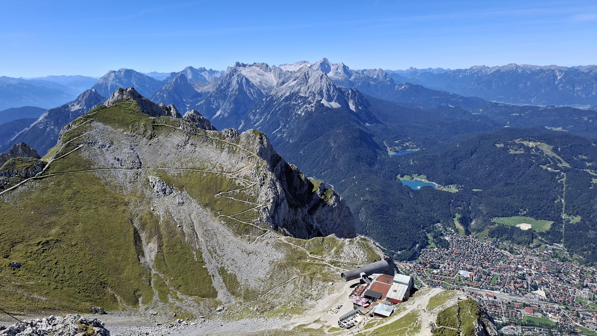
The first time I rode up the Karwendelbahn, fog swallowed the summit whole — I could hear the wind and not much else. This time I waited for a clear forecast instead, and it turned out patience was the only thing I'd been missing. From the top terrace, the Wetterstein range lines up on one side and the Austrian Karwendel on the other, and somewhere in between, a herd of sheep has the best view in Bavaria and doesn't care who knows it.
Rotwand from Spitzingsee: Up on Foot, Down by Cable Car, and a Käsespätzle in Between
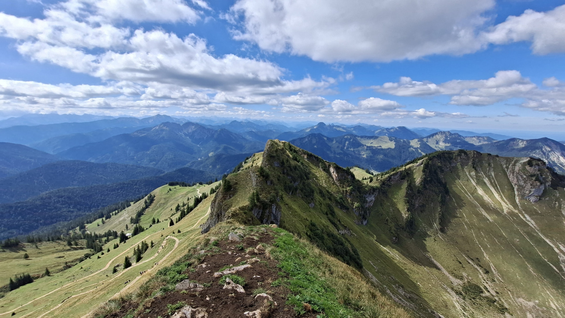
The sign at the trailhead doesn't waste words: alpine experience, sure-footedness, and a head for heights required. I read it, shrugged, and kept walking — and by the time I was holding a steel cable over slick rock below Taubenstein, with families ahead of me deciding whether to turn back, I understood why the German Alpine Club bothers putting signs like that up at all. The ridge past it, all the way to Rotwand's 1,884 m summit, is the reason to come. The Käsespätzle and the cable car down are the reason it doesn't hurt to stay a while first.
Setzberg via Wallberg
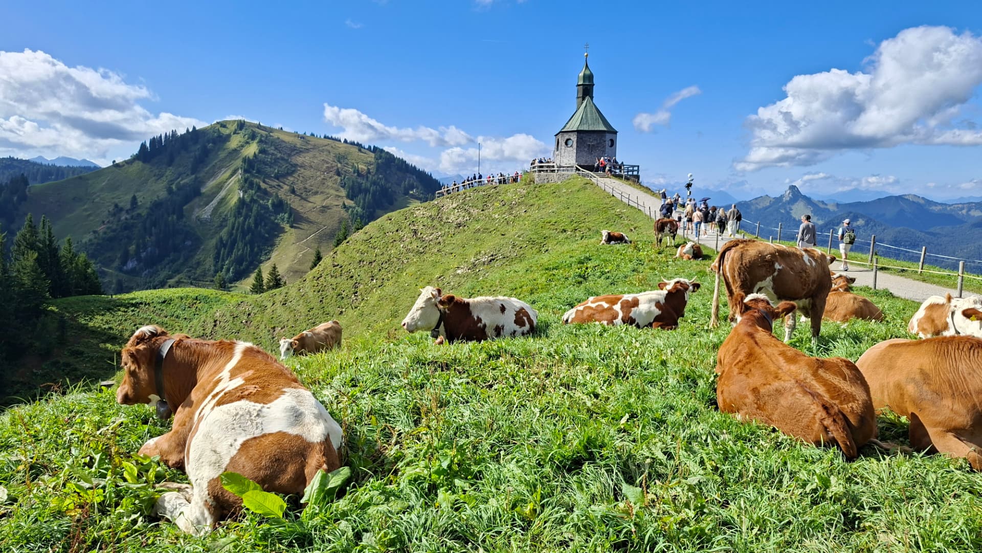
I set out for Risserkogel. By the time I reached the top of the Wallbergbahn it was already clear the clock wouldn't allow it, so I took the shorter ridge to Setzberg instead — three hours at the top, more than 25 paragliders in the air at once, and a chapel with its own herd of cows on the way.
New trips, straight to your inbox
No spam. Just the routes, how to get there by train, and the best time to go.
By subscribing, you agree to receive the Haki Travels newsletter. We'll send you one email to confirm your subscription, and you can unsubscribe at any time. Privacy Policy